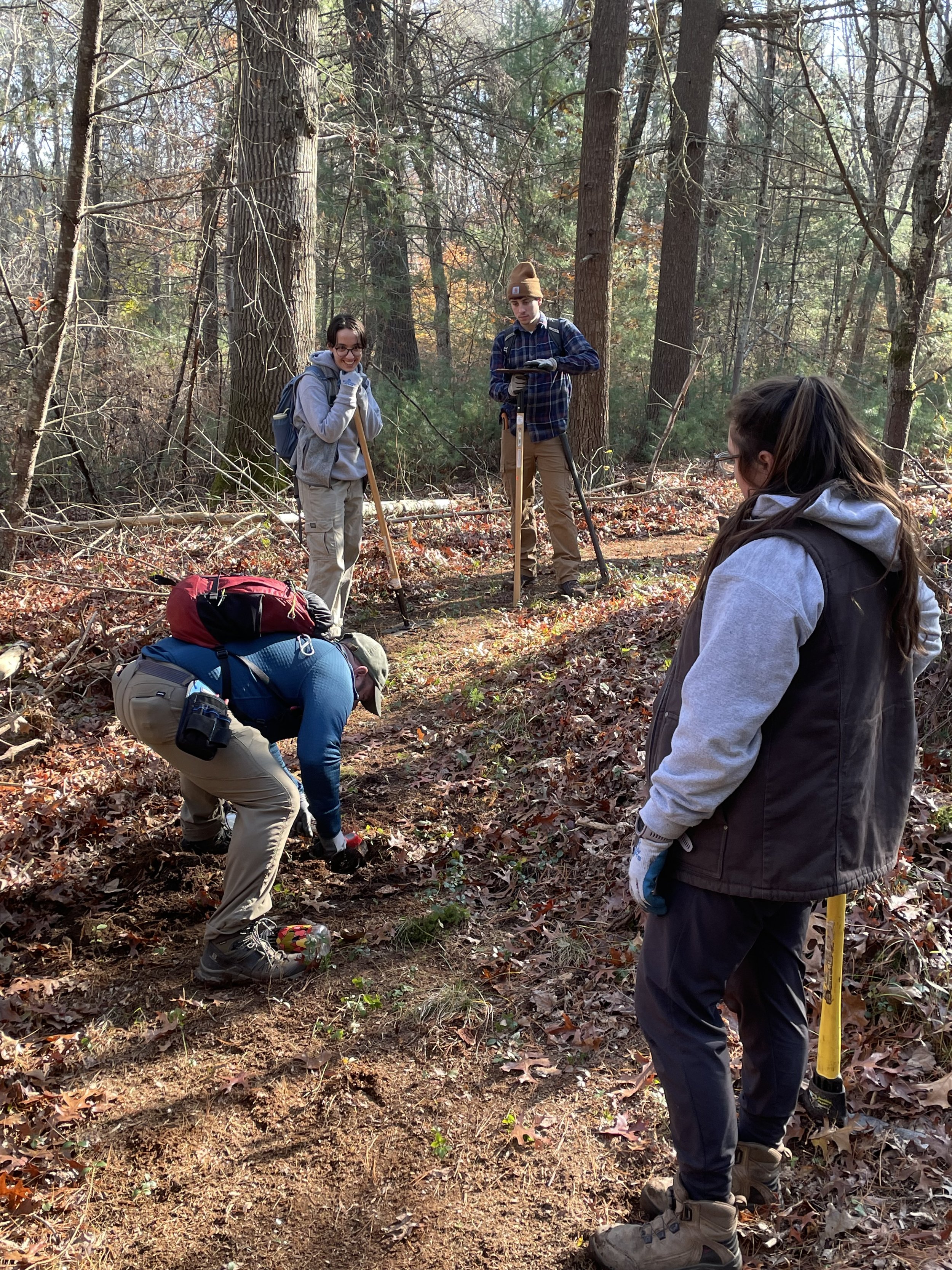
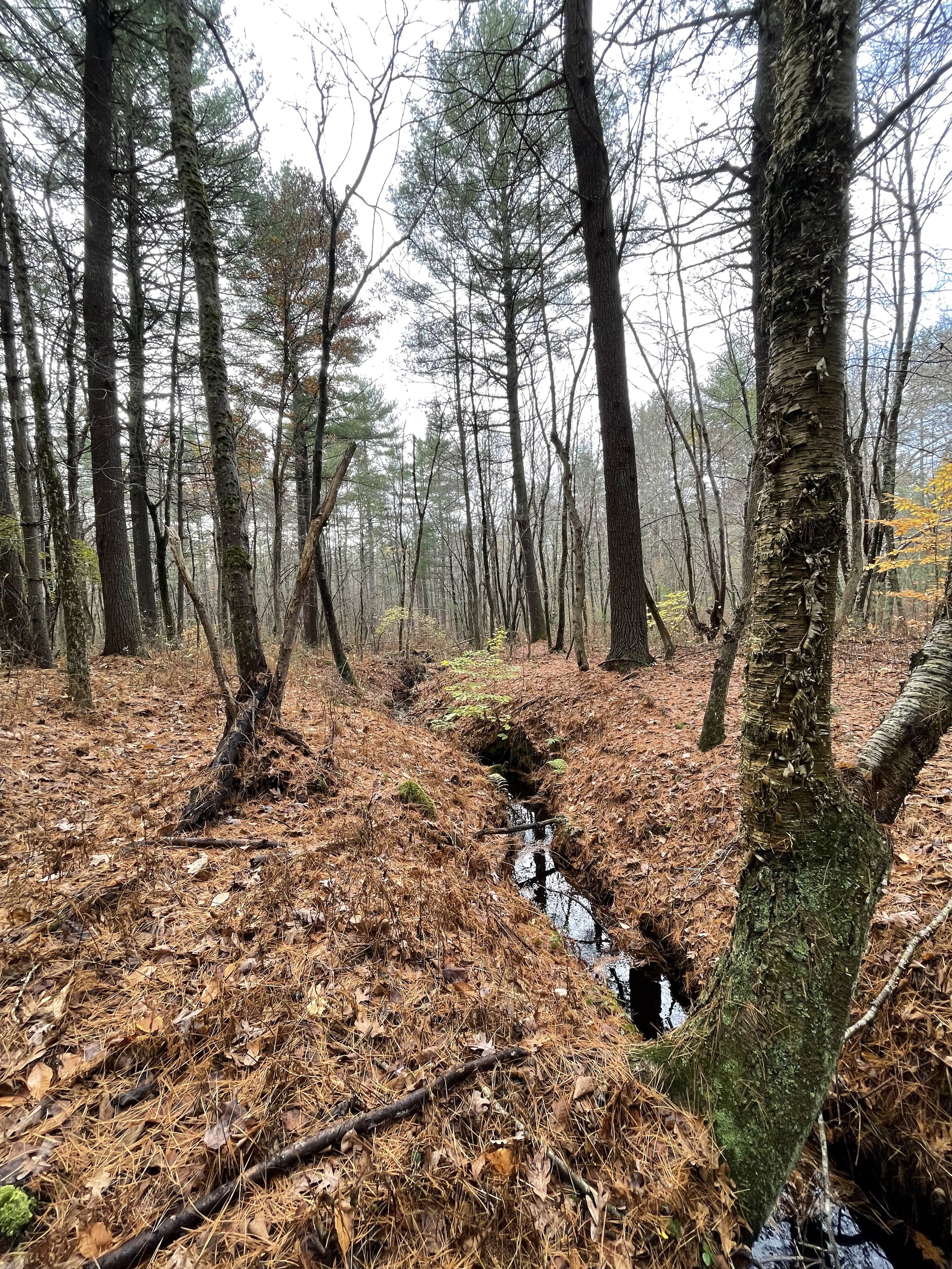
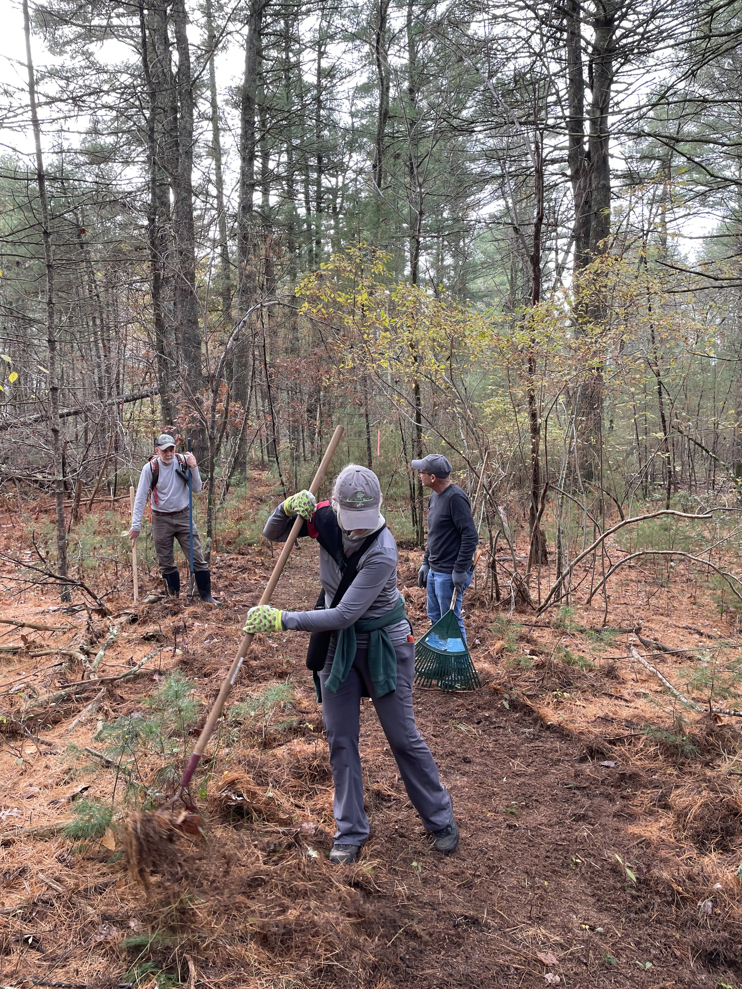
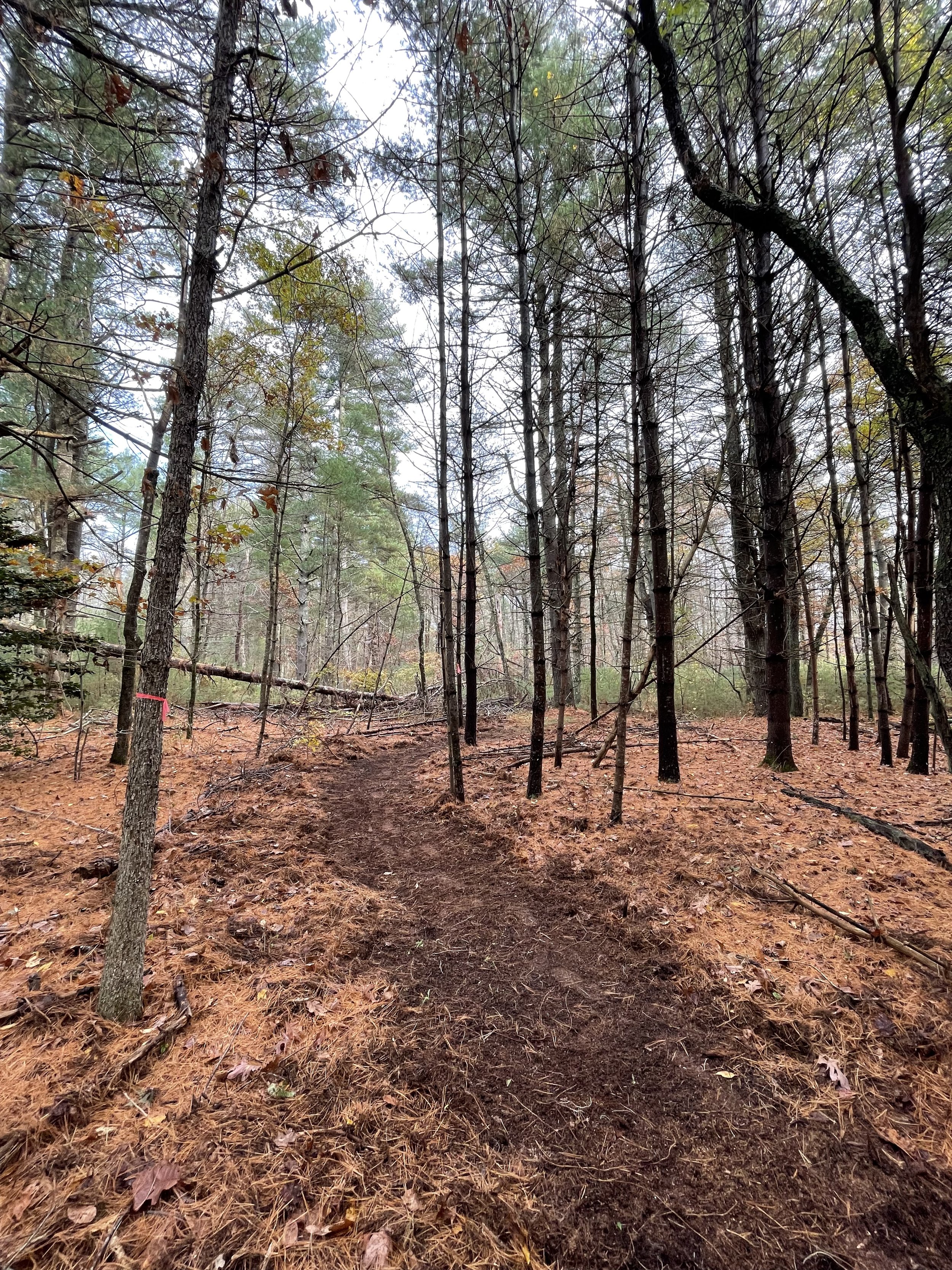
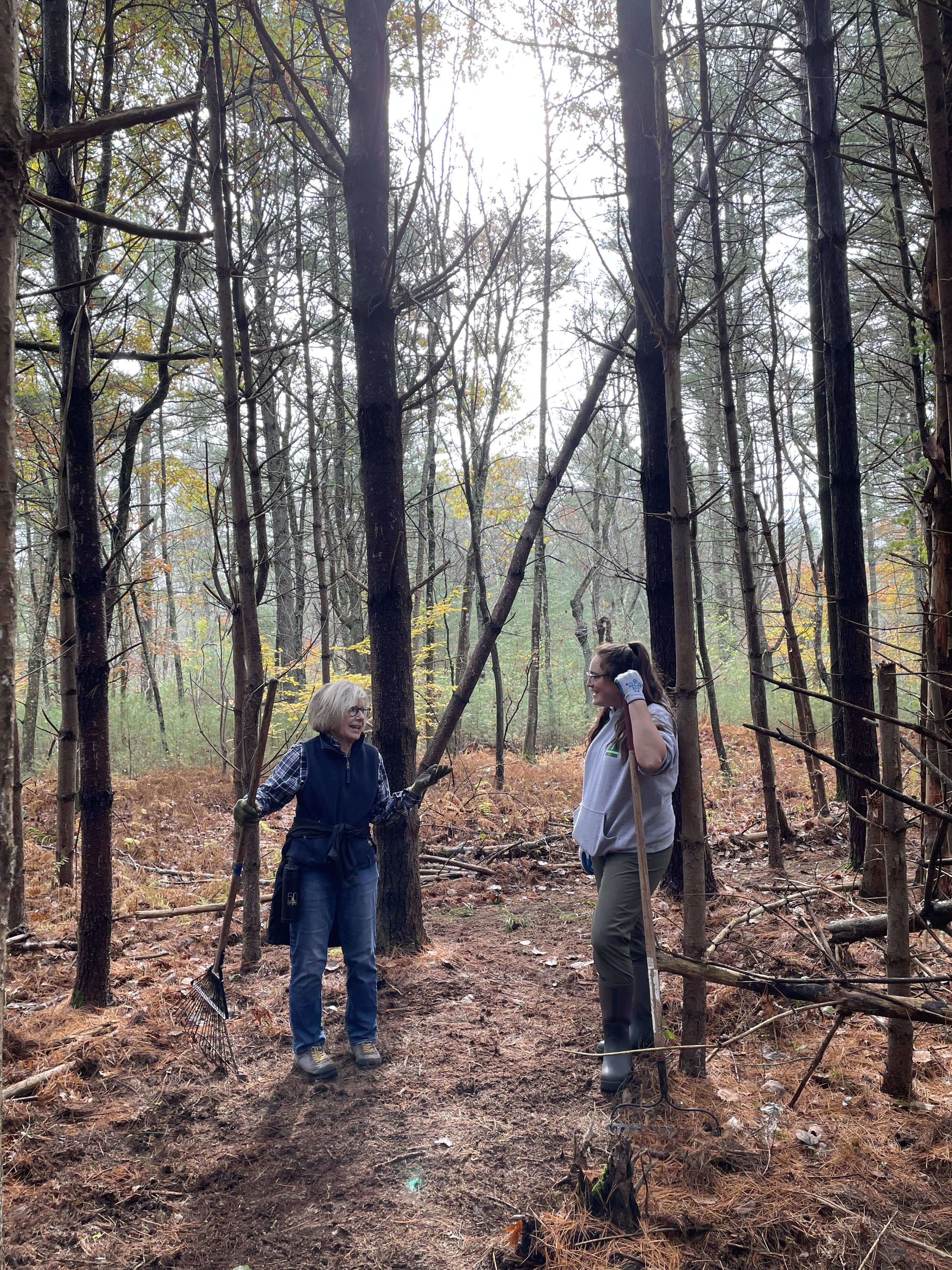
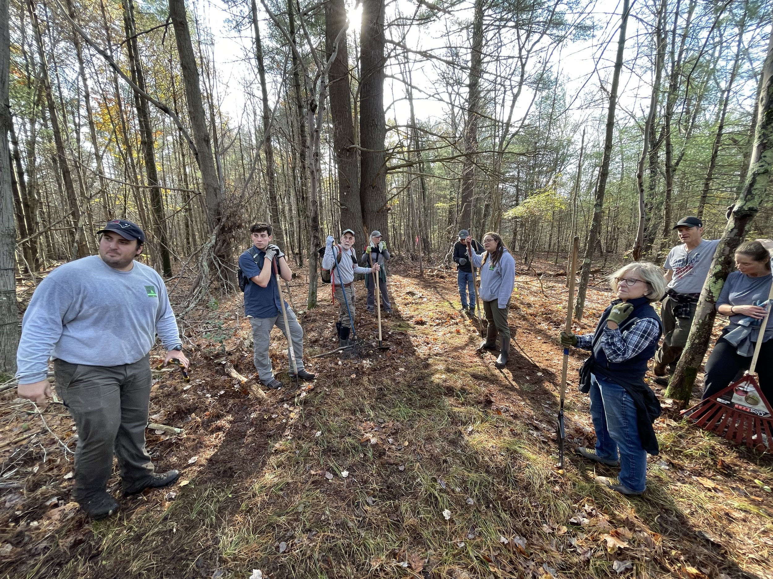
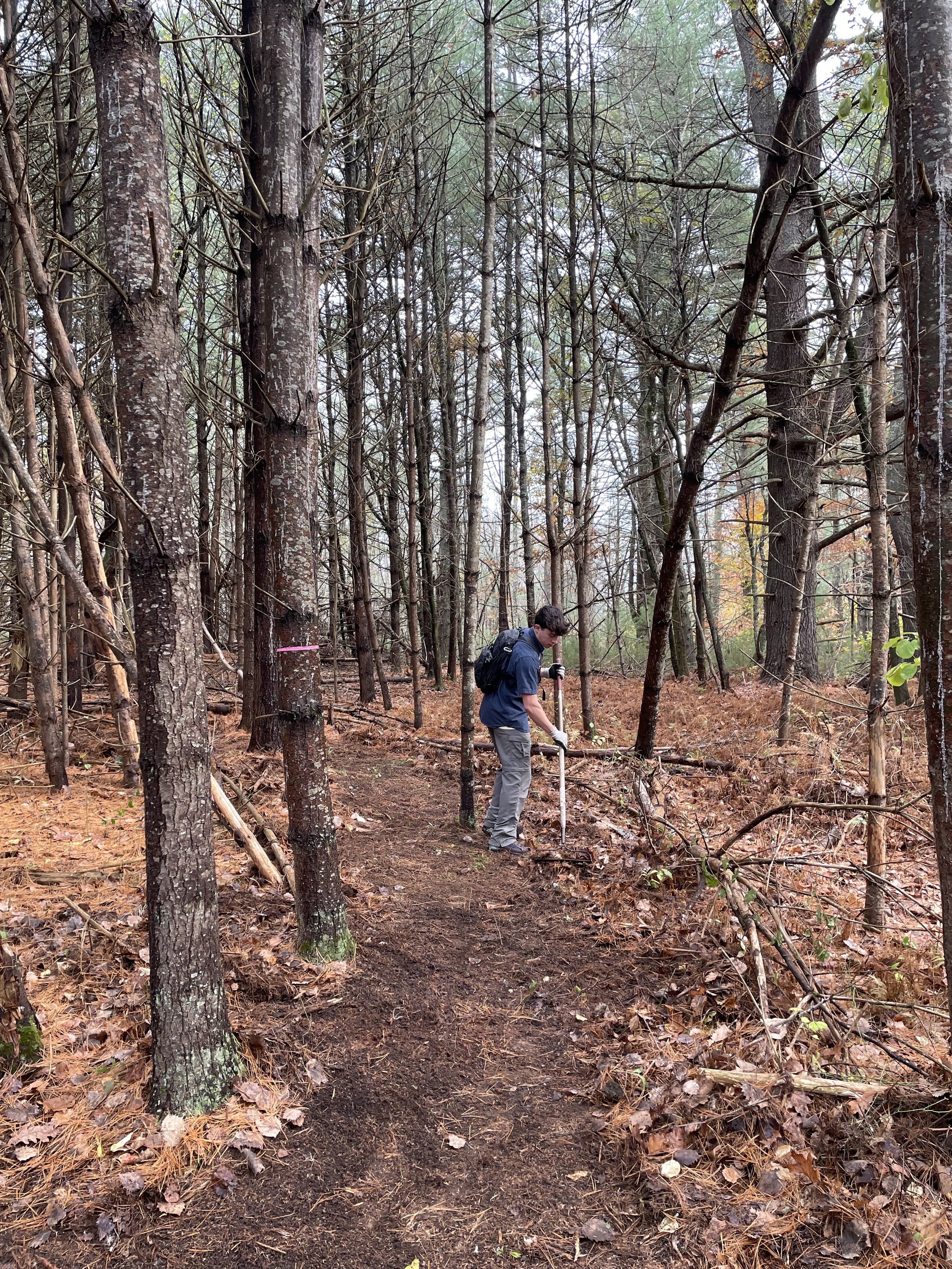
Striar Snake River Preserve in Taunton. A project is underway to improve public access at this preserve.
By Skip Stuck, Key Volunteer
Those of you who have been following our "Human History of Wildlands" series know that the approach so far has been to tackle one preserve or one community at a time and to dig as deeply into that story as historical resources allow. However, when I started researching the history of Wildlands Trust’s Great River Preserve in Bridgewater, it occurred to me that there was a different kind of story here, not just of one preserve, but of an entire region—namely, the Taunton River watershed. Here, I take a broader look at this 500-square-mile area, one within which Wildlands Trust and its partners protect a variety of landscapes that are important as individual parcels but carry even greater significance in the context of their shared history. In upcoming entries to this series, we will zoom back in to the stories of individual preserves in the watershed, like Great River Preserve, Striar Conservancy in Halifax, and Wyman North Fork Conservation Area in Bridgewater. Today, we will take this broader view.
A watershed is a land area within which all rainfall and snowmelt funnels into the same place. A raindrop in Foxborough, even if it’s 15 miles from the headwaters of the Taunton River, will eventually work its way down smaller streams or in groundwater to the Taunton and empty into Mount Hope Bay and the Atlantic Ocean. So, the point where that raindrop first splashed down in Foxborough is part of the Taunton River watershed.
The map below will help convey the size of the Taunton River watershed and its importance to Wildlands’ work. Of the 57 cities and towns that Wildlands Trust serves, 30 lie at least partially within the Taunton River watershed, which encompasses 562 square miles across Southeastern Massachusetts. Wildlands protects over 2,150 acres of land in the Taunton River watershed through outright ownership, Conservation Restrictions, and deed restrictions.

The Taunton River watershed is home to geographical and historical features that exist nowhere else in Massachusetts. It features the longest undammed coastal waterway in the state. This is in part because it drops only 20 feet from its source in Bridgewater to its mouth in Fall River, curbing its power generation potential. The Taunton River is tidal up to the City of Taunton, meaning it contains salt and brackish water for about half of its length.
The watershed is home to over 500,000 people across 43 towns and cities, covering portions of three counties. Despite the dense settlement around it, the Taunton River is a federally designated Wild and Scenic River. The region is also home to the largest freshwater swamp in southern New England, the nearly 17,000-acre Hockomock Swamp.
These features and many others play important roles in the area's human history. Now, let’s move back in time.
Pre-history
As the glaciers receded between 12,000 and 13,000 years ago, they left a landscape scraped and scoured, with piles of rocks, rubble, moraines, eskers, and other geological features. Across central Southeastern Massachusetts, a large moraine created a debris dam that prevented melting glacial water from draining into the ocean. The result was Glacial Lake Taunton, which spanned 54 square miles and plunged 130 feet deep. The lake lasted for about 300 years before the dam broke.
Glacial Lake Taunton. From “Understanding Geological History when Selecting Trenchless Installation Methods” by Haley & Aldrich.
When the dam finally breached, the rushing water spread a mix of gravel and mud across the watershed area, building the foundation for some of the richest forests and farming soils in Southeastern Massachusetts. It also created today's Taunton River and its many tributaries.
People soon arrived. We know a good deal more about the pre-European history of the Taunton River watershed than of much of the rest of Southeastern Massachusetts. In fact, some of the oldest archeological evidence of human habitation in New England comes from digs, finds, and studies in Bridgewater, Middleborough, and the "Titicut" site, dating back more than 9,000 years. The watershed was heavily populated for the time. Several area names survive. Cohannet, Tetequet, Titiquet were all used by the resident Wampanoag Tribe to describe the river and its valley.
The flat, slow-flowing river also became a major route for Native Americans to trade and move seasonally to productive hunting and fishing areas. The 72-mile Wampanoag Canoe Passage was a well-traveled route that allowed relatively easy passage between Cape Cod Bay and Narragansett Bay via the North River and the Taunton River. The passage has been restored and cleared in some areas and can be followed today.
Along the route, Natives likely passed through the Hockomock Swamp, derived from "Hobomock," the deity tied to death and disease, but also to the spirits of ancestors. It was also an area favored as a sanctuary and for its rich game and hunting resources.

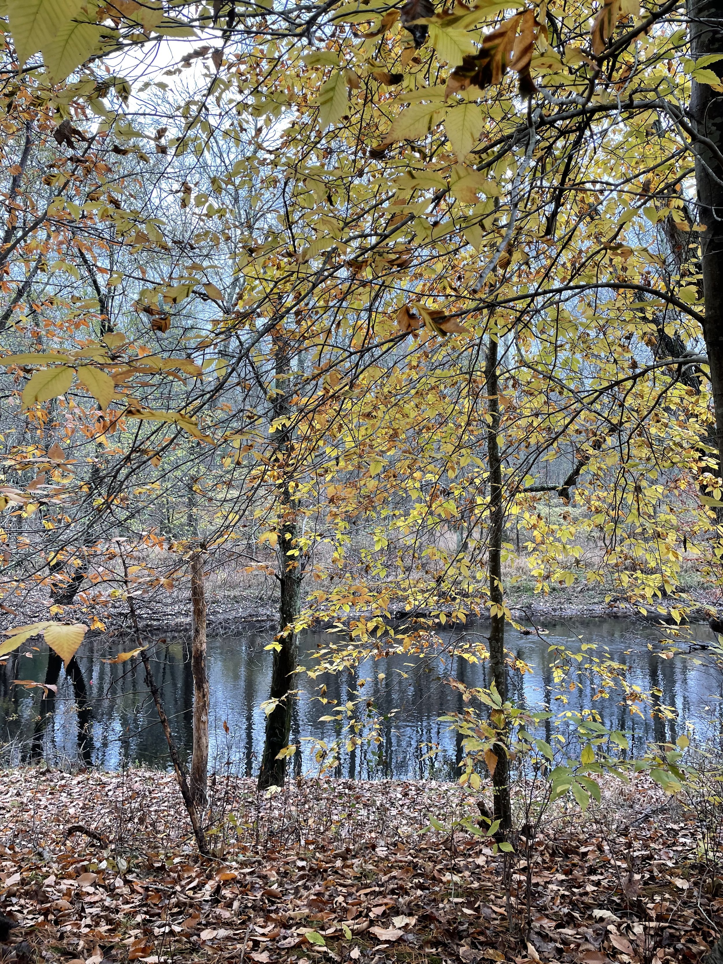
Great River Preserve in Taunton.
European Settlement
After 1620, the English settlers of the Plymouth Colony soon moved west and found that the Taunton River area held great promise. Good soil. Easy river travel. And while the main river's current was too slow to produce power for mills, tributaries such as the Town, Matfield, Winnetuxet, Nemasket, and Three Mile Rivers all tumbled into the valley with sufficient energy to provide waterpower and to support the largest spring runs of alewives and river herring in the state.
The watershed was initially part of the "Duxbury Purchase," but settlement soon created towns such as Taunton in 1637 and Bridgewater in 1645, and ultimately Plymouth and Bristol Counties. Farms thrived upriver, while ironworks and shipbuilding made Taunton a growing city. Eventually, Taunton earned the name "the Silver City" due to its reputation for silversmithing and jewelry making.
As with nearly all of Southeastern Massachusetts, and much of New England, this prosperity was not to continue without setbacks. The most notorious one was King Phillip's War from 1675 to 1676. Initially good relations between European colonists and the Wampanoag Tribe and its chief Massasoit, crucial to the Plymouth Colony's early survival, had in two generations deteriorated into war. The Tribe, led by Massasoit's son Metacomet (who chose the name King Philip), was feeling taken advantage of by the colonists. A revolt ensued, and the Taunton River area, especially Hockomock Swamp, was its epicenter. While the hostilities eventually reached all of New England and upstate New York, the Plymouth Colony and adjacent Rhode Island bore the brunt of the fighting. Whereas the colonists feared and avoided the swamp, the Natives found safety and sanctuary there. In fact, the war only ended when the colonists finally entered the swamp and routed Metacomet and his people. In the end, King Phillip's War was the costliest in terms of property destruction and death—to both colonists and Natives—in all of colonial America.

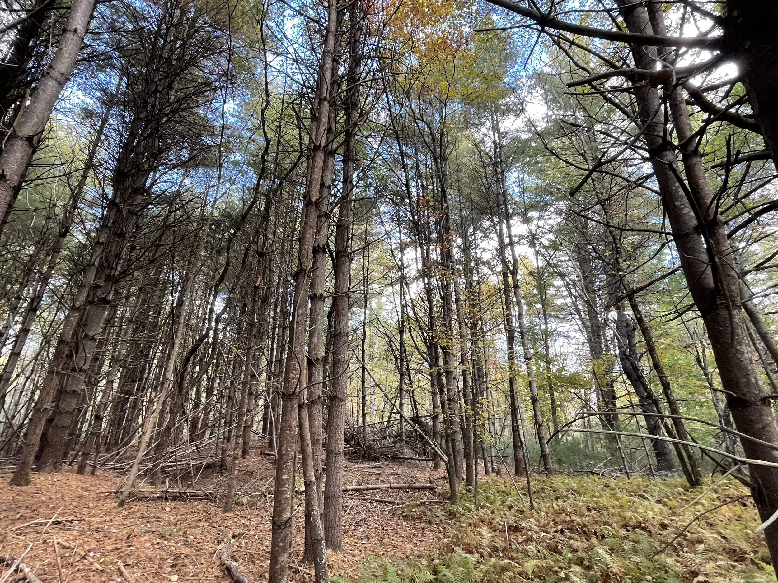
The Taunton River passes through the forests of Wyman North Fork Conservation Area in Bridgewater. In 2024, Wildlands acquired an additional 90 acres directly across the river from Wyman North Fork, further protecting this section of the Taunton River corridor less than two miles from its headwaters.
After the war, colonial prosperity resumed, and towns grew and flourished. Many attempts to drain Hockomock Swamp ensued, but each ultimately failed. The swamp served as a natural "sponge," absorbing water and preventing the kinds of floods that periodically disrupted life on many nearby rivers. Indeed, failures to drain the swamp substantially contributed to the Taunton River’s wild and pristine state today. Similarly, the Taunton’s incapacity for waterpower has benefited the watershed’s ecological health, as it kept the river undammed, free-running, and surrounded by forest and farmland. Thanks to its unique natural characteristics that stifled colonial industrialism, the Taunton River is now a federally designated National Wild and Scenic River.
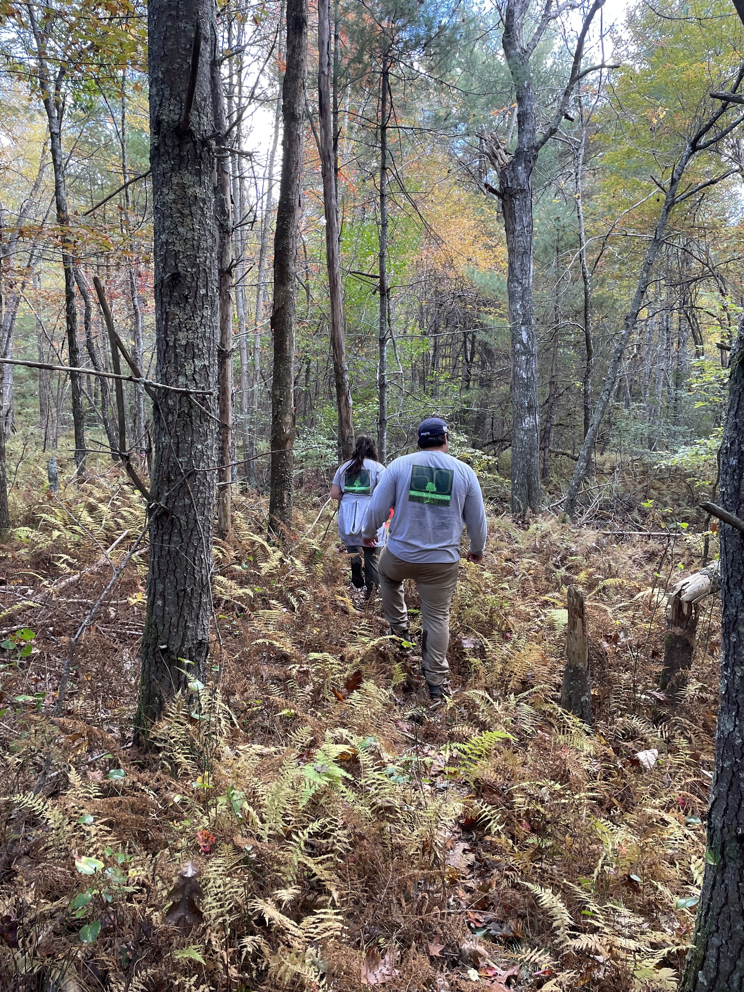
Today, the Taunton River watershed is home to many wonderful nature preserves. Wildlands Trust, MassWildlife, the Taunton River Watershed Alliance, and its cities and towns work together to protect this special place. Great River Preserve, Wyman North Fork Conservation Area, Striar Conservancy, Brockton Audubon Preserve, and soon Striar Snake River Preserve in Taunton are some of the Wildlands properties where you can see the results for yourself.
To learn more, please see our website at wildlandstrust.org and visit some of our preserves in the Taunton River watershed.

Striar Conservancy in Halifax is located on the bank of the Winnetuxet River, a tributary of the Taunton River.
Learn More
Resources for this article include:
The Taunton River Watershed Alliance: savethetaunton.org
Tetiquet To The Sea: A History of the Taunton River: oldcolonyhistorymuseum.org/product/tetiquet-to-the-sea
Wild and Scenic Taunton River: srpedd.org/environment/wild-and-scenic-taunton-river
Archaeology of Dighton: plymoutharch.tripod.com/id157.html
Understanding Geological History When Selecting Trenchless Installation Methods: haleyaldrich.com/wp-content/uploads/2020/08/NETA
The Wampanoag Canoe Passage: North and South River Watershed Association, "River Watch," April 2015.
Thanks to Thomas Patti for his editing and encouragement, to Owen Grey for his mapping assistance, and to Tess Goldmann for her analysis of Wildlands’ holdings in the Taunton River watershed.
If you have photographs, historical documents, or maps related to the history of the Taunton River watershed, we want to see them! Please send any information to communications@wildlandstrust.org.